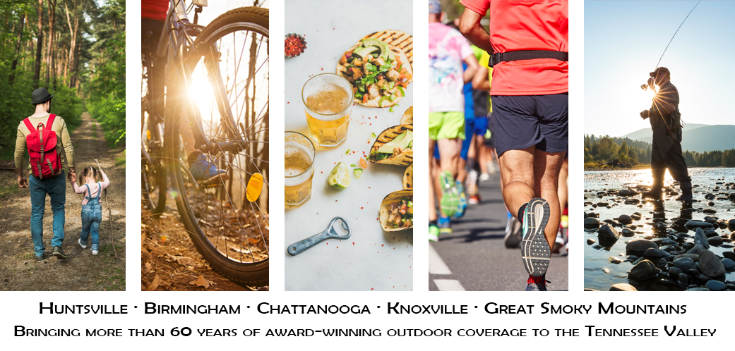

EAU CLAIRE, Wis. — Eddies and riffles dot the Chippewa River, which flows some 200 miles to its juncture with the Mississippi. It begins about 40 miles or so below Lake Superior with two forks, one starting in a swamp and the other a lake. The river courses through the state with rapids, falls, pools and the mostly placid section dividing Eau Claire, where the Mile 0 marker puts you on the lovely Chippewa River Trail that is ideal for running, biking, walking and enjoying the outdoors.
During a visit late last September, leaves were starting to change colors. The last summer wildflowers popped along the trail. It wasn’t full-blown yellow, orange, red vivid leaf-peeping season just yet. That still was a few few weeks away. Fishing was improving, easing from the summer heat to cooler autumn temps. A morning or evening bike ride or run on the trail, or a zip around the lake for bass, bluegills or walleye, required a hoodie or light jacket. Comfortable weather.
Downtown Eau Claire grew up fast, hard and typical for an 1800s era logging and frontier town. Settlers and investors came to ply the vast forests of the north, sending logged timber downstream on various waterways. The Chippewa was one, and from upstate it finally met the Eau Claire River in the small but bustling town of the latter’s name. Loggers, hoteliers, retailers, investors, ner’ do’wells and pacifists, preachers and con men, Temperance shouters and ladies of the night, settlers seeking a new start … they all found their way to Eau Claire, same as in other small frontier towns.
The trails back then weren’t like today’s Chippewa River Trail, which is smooth, 10-feet wide and well-marked. If you’re running out of Eau Claire, south along the 40-ish mile trail that ends in Durand, you’ll find signs here and there. Today’s super-smart watches keep up with every step you take, every move you make, probably some bonds you break. But if your timepiece isn’t watchin’ you on the Chippewa River Trail, you’ll be able to gauge the miles along the way thanks to the signs.
River Trail
The first mile or so of the trail is past houses and quiet streets, a nice 11-acre park, and the older Water Street Historic District, which you’d expect from a town settled by European pioneers in 1845. The area was settled far earlier by the Ojibwe, Ho-Chunk and Dakota peoples, who used the rivers and trails to connect, network, hunt, fish and migrate.
As the river, then truly wild and untamed, shifted with floods, erosion and the like, the growing town shifted with its currents. A mill on one small tributary was stalwart and productive, until it wasn’t. You go by that historical sign on the Chippewa River Trail just down from Water Street. Over time, residents sought higher, more stable ground and put down roots; today’s town pretty much represents that layout.
Outside of town on the trail, you dive into the quiet ebb and flow of the river, crossing it on another old, preserved bridge. It’s a great spot to walk, look at the river current breaks, watch anglers try to catch a fish, see paddlers dipping paddles as their canoe glides silently along. Fish flit in the shallows. Birds hunt there, too.
Further on the trail, silence. Bursts of flowers here and there, mostly wild and untamed. Similar to our greenways in Huntsville and Madison, some are lightly maintained in spots. Others are left to do their thing. These are where we can enjoy the hybrid of city life: butterflies, bees and flowers, birds singing, a snake or turtle in the creek to show the kids. It’s not a dirt trail through the pasture or in a state park, but also not a sidewalk amid asphalt, concrete and buildings. Greenways have their purpose.
After a few miles, I hit a section with a closed check station. A sign said this was part of the Aldo Leopold Legacy Trail System, which offers more than three dozen trails covering 1,730ish miles. If you’re counting on your toes, that’s three named trails within this one starting in downtown Eau Claire: Old Abe, Chippewa River and Leopold Legacy. Note: the Old Abe trail is not named after the president.
Connnectivity is a good thing. The Chippewa trail also connects with the Red Cedar Trail. This combo creates almost 40 miles to Menomonie doo doo dee doo-doo Menomonie doo doo dee doo Menomonie … OK, I’ll stop. Linking trails, greenways and so forth definitely is cool, though.
Connnections!
Imagine if the Land Trust properties’ Devil’s Race Track trails could be connected to Chapman Mountain, and Monte Sano State Park, and maybe somewhere through Dug Hill to Hampton Cove, or across U.S. 431 along the ridge through The Ledges and over Cecil Ashburn and all the way south to Ditto Landing. And then along the Riverwalk Greenway, and back north all the way as far as it could go.
Perhaps a big loop? With spurs west to Madison, and the greenway systems there, and maybe even out to Mooresville where you could get on the Wheeler NWR roads and ride or run? Miles and miles of connectivity, easy to legally access? That would be awesome.
I wouldn’t be making a long run on the Chippewa River Trail, though.
After another mile or so I was ready to turn around to head back to Eau Claire. Four miles out, and back, was enough for the day with a couple of half-marathons coming up the following weeks. Anyway, this was more of an “what’s there?” and leg-stretcher outing. New places to run and ride are fun to explore. Not every bit of the Chippewa River Trail that I did was super-scenic, but I can say the same about greenways in Huntsville. Urban outings aren’t all robins and roses. That’s part of the deal.
In the City
I got an interesting vibe the few nights I was downtown Eau Claire for dinner or a beer. Both are readily available, along with other treats, at the smattering of purveyors in the easy-to-walk five or six blocks.
There’s a workingman vibe, which lends itself to the city’s origins. You don’t shed all of your logging-pioneer roots over a few generations. Wisconsin folks are hearty. There’s also a liberal chillin’ out vibe, thanks in part to the Wisconsin-Eau Claire campus, a satellite of the state’s namesake university. Some 4,000 or so Asians are among the 70,000 residents; you’ll find a hell of a selection of Thai, Hmong, Japanese, Chinese and Korean options.
Need a corner bar with a little ‘tude and Packers supporters? They’re available, a good selection with neon in the windows or blaring televisions in the sports bar. Leave your Vikings jersey in the car or a gaggle of Packers fans might stick it (with you in it) in the alley out back. Eh … maybe not. Wisconsin folks are nice. But they probably won’t buy you a cold Spotted Cow, Hazy Rabbit, Moon Man or PBR.
Be sure to pop into Olson’s for a double scoop of ice cream. It’s rich and melty and delicious, and probably best in a cup if you don’t want drippy fingers. But what’s the fun of a cup? Get the cone and get busy.
The Chippewa River Trail is super for biking, and Wisconsin is expanding more opportunities for gravel and tourism biking. If you drive up to bike, you’ll find no shortage of possibilities for scenic, rural routes or greenway-ish trails. Eau Claire offers a good selection of bike shops, with rentals, for regular and e-bikes.
For runners, Blue Ox Running is small but hearty like it’s namesake. Summers are lovely. Winters, not so much. But if you’re a runner, even in winter, you get after it. Blue Ox moved from downtown Eau Clare over to Altoona, a short drive away. If you need shoes, gels, a group run or something else, that’s your spot. Eau Claire Marathon Weekend is the first weekend in May, with options for a full, half and more.
For more info:
Chippewa River Trail
Eau Claire City
Eau Claire Tourism
Wisconsin DNR Biking Trails, and Other Trails, and Rails-to-Trails routes


